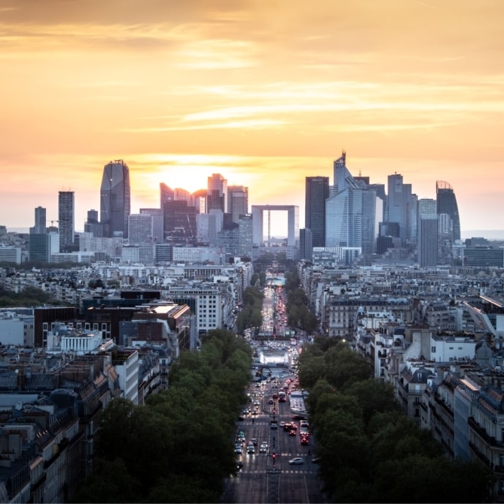
Paris La Défense, 
 bien plus
qu'un quartier
d'affaires 
L’établissement public local aménage, exploite,
fait la promotion et anime le territoire, vous proposant
un éventail dynamique d'expériences de divertissement !
Un condensé de tout ce qu’il y a à faire et à voir à Paris La Défense. Pas de blabla, pas de spams, de l’info, des bons plans et c’est tout !
Les projets à Paris La Défense
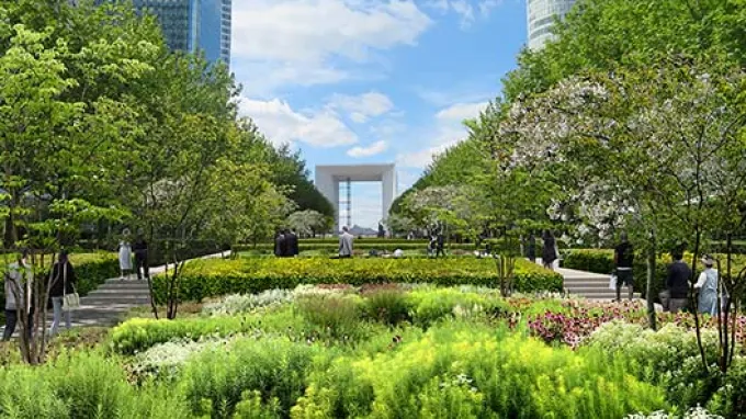
Pour mieux répondre aux besoins de ses usagers, le quartier accélère sa transformation et se diversifie pour devenir, un peu plus chaque jour, un véritable quartier de vie.

Better #13 printemps-été 2025
Un numéro de votre magazine préféré avec toute la collection printemps-été des événements de Paris La Défense qui vous feront à coup sûr vibrer. Retrouvez aussi quelle sera la tendance de cet été dans cette édition très colorée 😊 !
L’accompagnement des professionnels
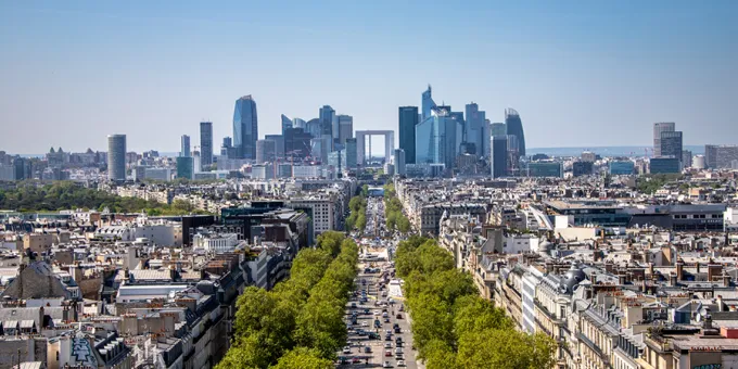
Nos équipes vous accompagnent et simplifient votre installation
Votre succès à Paris La Défense commence ici : rejoignez les 2 800 entreprises du territoire au sein du premier quartier d’affaires d’Europe, et 4ème quartier le plus attractif au monde ! Nos équipes optimisent votre arrivée.

Retrouvez toutes vos démarches professionnelles en ligne
Occupation du domaine de La Défense, accès à la dalle, accès aux locaux et galeries techniques, arrêtés de voirie... Le Guichet Pro est la plateforme qui simplifie vos démarches administratives en ligne.
Engagement et Solidarité
Parce que les nouvelles formes du travail et de la vie au bureau ainsi que les enjeux climatiques et environnementaux imposent de reconsidérer notre manière d’habiter et de fabriquer la ville.


